Math Is Fun Forum
You are not logged in.
- Topics: Active | Unanswered
- Index
- » This is Cool
- » Equator
Pages: 1
#1 2025-09-18 16:50:41
- Jai Ganesh
- Administrator

- Registered: 2005-06-28
- Posts: 53,831
Equator
Equator
Gist
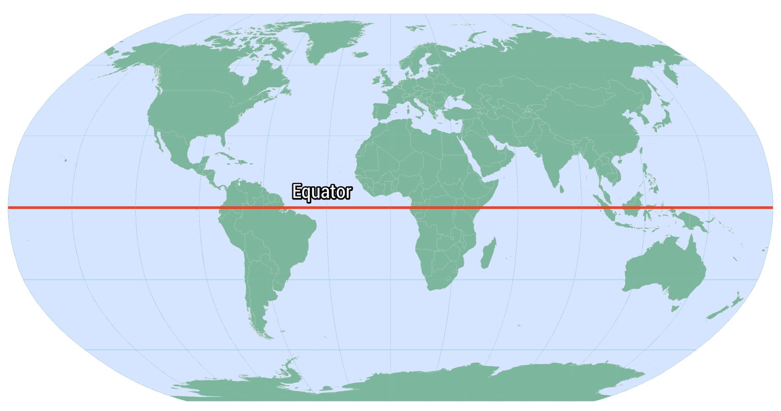
The Equator is an imaginary circle around Earth. It divides Earth into two equal parts: the Northern Hemisphere and the Southern Hemisphere. It runs east and west halfway between the North and South poles. The distance around the Equator is about 24,900 miles (40,000 kilometers).
The Equator appears on maps and globes. It is the starting point for the measuring system called latitude. Latitude is a system of imaginary east-west lines, called parallels, that circle Earth parallel to the Equator. Parallels are used to measure distances in degrees north or south of the Equator. The latitude of the Equator is zero degrees.
Summary
The equator is the circle of latitude that divides Earth into the Northern and Southern hemispheres. It is an imaginary line located at 0 degrees latitude, about 40,075 km (24,901 mi) in circumference, halfway between the North and South poles. The term can also be used for any other celestial body that is roughly spherical.
In spatial (3D) geometry, as applied in astronomy, the equator of a rotating spheroid (such as a planet) is the parallel (circle of latitude) at which latitude is defined to be 0°. It is an imaginary line on the spheroid, equidistant from its poles, dividing it into northern and southern hemispheres. In other words, it is the intersection of the spheroid with the plane perpendicular to its axis of rotation and midway between its geographical poles.
On and near the equator (on Earth), noontime sunlight appears almost directly overhead (no more than about 23° from the zenith) every day, year-round. Consequently, the equator has a rather stable daytime temperature throughout the year. On the equinoxes (approximately 20 March and 23 September) the subsolar point crosses Earth's equator at a shallow angle, sunlight shines perpendicular to Earth's axis of rotation, and all latitudes have nearly a 12-hour day and 12-hour night.
Details
The Equator is an imaginary line around the middle of Earth. It is halfway between the North and South Poles, and divides Earth into the Northern and Southern Hemispheres.
An equator is an imaginary line around the middle of a planet or other celestial body. It is halfway between the north pole and the south pole, at 0 degrees latitude. An equator divides the planet into a northern hemisphere and a southern hemisphere.
Earth is widest at its Equator. The distance around Earth at the Equator, its circumference, is 40,075 kilometers (24,901 miles).
Earth's diameter is also wider at the Equator, creating a phenomenon called an equatorial bulge. The diameter of a circle is measured by a straight line that passes through the center of the circle and has its endpoints on the boundary of that circle. Scientists can calculate the diameter of latitudes, such as the Equator and Arctic Circle.
Earth's diameter at the Equator is about 12,756 kilometers (7,926 miles). At the poles, the diameter is about 12,714 kilometers (7,900 miles). Earth's equatorial bulge is about 43 kilometers (27 miles).
The equatorial bulge means that people standing at sea level near the poles are closer to the center of Earth than people standing at sea level near the Equator. The equatorial bulge affects the ocean, too—sea levels are slightly higher in equatorial regions than near the poles.
The equatorial bulge is created by Earth's rotation. As lines of latitude increase in size, a point has to travel faster to complete a circle (revolution) in the same amount of time. The rotational speed, or spin, at the Arctic Circle is slower than the spin at the Tropic of Cancer, because the circumference of the Arctic Circle is much smaller and a point doesn't have to travel as far to complete a revolution. The spin at the Tropic of Cancer is much slower than the spin at the Equator. Near the poles, Earth's rotational speed, or spin, is near zero. At the Equator, the spin is about 1,670 kilometers per hour (1,038 miles per hour).
Earth's gravitational pull is slightly weaker at the Equator due to its equatorial bulge.
The slightly weaker gravitational pull and momentum of spinning Earth makes equatorial regions ideal places for space launches. It takes an enormous amount of energy to launch a satellite or other spacecraft out of Earth's atmosphere. It takes less energy (rocket fuel) to launch in lower gravity. It also takes less energy to launch when spinning Earth is already giving the satellite a push of 1,670 kilometers per hour (1,038 miles per hour).
The United States launches most spacecraft from the Kennedy Space Center in southern Florida, which is almost as close to the Equator as possible in the continental U.S. Other rocket-launching facilities near the Equator include Shaba North, Democratic Republic of Congo, and Gan Island, Maldives.
Recently, mobile launch platforms, such as Ocean Odyssey, have successfully launched satellites into orbit from the equatorial Pacific Ocean.
Equatorial Climates
Twice a year, during the spring and autumn equinoxes, the sun passes directly over the Equator. Even during the rest of the year, equatorial regions often experience a hot climate with little seasonal variation.
As a result, many equatorial cultures recognize two seasons—wet and dry. The wet, or rainy, season often lasts most of the year. The long, warm, rainy season creates tropical rainforests. Some of the most expansive rainforests in the world are in equatorial regions: the Amazon rainforest of South America, the Congo rainforest of Central Africa, and the varied Southeast Asian rainforest stretching from India to Vietnam.
Humid weather means that equatorial regions are not the hottest in the world, even though they are among the closest to the sun. The water in the equatorial air cools it slightly.
Many cultures thrive in warm equatorial regions. The Fang people of Gabon, for instance, are successful farmers who take advantage of the warm temperature and long rainy season to cultivate crops such as corn, yams, and plantains. The Fang also raise livestock that have adapted to the climate, such as goats and chickens.
Not all equatorial regions are hot and humid, however. Mount Kilimanjaro, Tanzania, is only 330 kilometers (205 miles) from the Equator, but its elevation creates a climate with cool, dry weather and even alpine glaciers.
The Andes are another equatorial region lacking the hot, humid climate often associated with the Equator. The mountain range includes a desert with almost no rain (the Atacama), as well as some of the tallest peaks on Earth. Here, too, cultures have thrived for thousands of years. The Aymara people of the Altiplano of Bolivia, Peru, and Chile, are primarily an urban people who identify strongly with the innovative navigational successes of their ancestors. In the 20th century, the Aymara helped build railroads through the high, equatorial Andes.
Many plant and animal species thrive in equatorial climates. The Amazon and Congo rain forest ecosystems, for example, are amazingly rich in biodiversity. A single hectare (2.47 acres) of rainforest in Brazil may contain 750 species of trees and twice that many species of insects. The equatorial savanna of Kenya includes mammals such as lions (Panthera leo), cheetahs (Acinonyx jubatus), and elephants. The chilly equatorial Andes are famous for its camelid species: llamas (Lama glama), alpacas (Lama pacos), vicuñas (Vicugna vicugna), and guanacos (Lama guanicoe).
Additional Information
The Equator is a great circle around Earth that is everywhere equidistant from the geographic poles and lies in a plane perpendicular to Earth’s axis. This geographic, or terrestrial, Equator divides Earth into the Northern and Southern hemispheres and forms the imaginary reference line on Earth’s surface from which latitude is reckoned; in other words, it is the line with 0° latitude. Earth’s circumference at the geographic Equator is about 40,075 km (24,901 miles); it is slightly longer than the planet’s polar circumference, which has a length of about 40,008 km (24,860 miles).
In astronomy the celestial equator is the great circle in which the plane of the terrestrial Equator intersects the celestial sphere; it consequently is equidistant from the celestial poles. When the Sun lies in its plane, day and night are everywhere of equal length, a twice-per-year occurrence (about March 21 and about September 23) known as equinox. This unique arrangement allows the Equator to receive more incoming solar radiation over the course of a year than other locations more poleward. The Sun’s rays are directly overhead (that is, striking at a 90° angle with respect to the surface) at noon during both equinoxes at the Equator, and they are nearly direct for the remainder of the year. During the solstices (which occur on June 20 or 21 and on December 21 or 22), the noon angle of the Sun’s rays is at its most oblique, the rays striking at an angle of 66.5°.
Above the Equator is a zone of low atmospheric pressure called the intertropical convergence zone (ITCZ), which occurs as a wide belt of converging trade winds and rising air that encircles the planet. Consequently, land and sea areas both directly above and adjacent to the Equator are characterized by frequent cloudiness and thunderstorm activity and heavy rainfall.
It appears to me that if one wants to make progress in mathematics, one should study the masters and not the pupils. - Niels Henrik Abel.
Nothing is better than reading and gaining more and more knowledge - Stephen William Hawking.
Offline
Pages: 1
- Index
- » This is Cool
- » Equator